

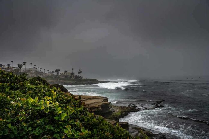
A massive crack has opened in a Dana Point bluff above a busy oceanfront trail, drawing safety concerns as heavy rain and high surf close in.
Story Snapshot
- A long fissure split the bluff beneath The Ritz-Carlton, Laguna Niguel, overlooking Salt Creek Beach.
- The crack sits above a popular public walkway that locals use throughout the day.
- Forecast rain and strong surf could worsen erosion by soaking soil and undercutting the bluff base.
- A local outlet cited an estimate of about 360 feet long and two feet wide for the fissure.
Crack Opens Above Heavily Used Salt Creek Trail
Local videographer Craig Whetter filmed a large fissure in the bluff above Salt Creek Point trail in mid-November. The bluff sits below The Ritz-Carlton, Laguna Niguel in Dana Point. The footage shows a clear split along the top of the bluff that looks fresh and sharp. Whetter said the location is above a “very, very popular walkway that people use all day,” warning that falling debris could threaten people below if the bluff weakens further.
Reports linked the fissure to a stretch of coastline that draws surfers, walkers, and families to Salt Creek Beach. That makes quick communication and basic safety steps important. Officials had not released a full geologic study when the videos spread. One local report, citing the California Department of Transportation, put the crack at roughly 360 feet long and two feet wide. The report did not list a named official or file number for that estimate.
Storms, Saturated Soil, And Surf Erosion Raise Risks
Weather forecasts called for rain and possible atmospheric river conditions that could soak the bluff. Water that seeps into an open crack can add weight and reduce strength in loose material. That raises the chance of slumps or slides. Strong waves and higher tides can hit the base of a bluff and pull away sand. That undercutting can leave the upper slope oversteep and more likely to break during or after storms.
Media reports described both factors at play along this Orange County shoreline: rain infiltration from above and wave action below. King Tides expected in late November can boost wave reach and speed up toe erosion. That combination—wet soil and a carved-out base—has caused sudden slope failures at other California beaches. Officials have urged caution on coastal trails during active storm windows in past years for the same reasons.
What We Know, What Is Pending, And Public Safety Steps
Current reporting focuses on the visible crack, its location above the trail, and the approaching storms. Coverage distinguishes concern for the trail and bluff from any confirmed threat to the hotel’s structures. No agency had released a detailed geotechnical analysis on depth, rate of movement, or stability at the time of the initial stories. That means size, depth, and timing of any potential movement remain to be established by engineers.
… less than a month after it sold… perhaps the biggest hotel deal in OC history.
The Ritz-Carlton Laguna Niguel sold in late October 2026 from Strategic Hotels & Resorts to KSL Capital Partners. CoStar puts the real-estate portion at $378 million, far below a 2026 assessment… https://t.co/ScZqrIQSJ4
— Brad Conley⚖️🇺🇸 (@JB_Conley) November 15, 2026
Common sense safety steps apply until engineers finish site work. Local leaders can inspect and, if needed, rope off portions of the trail below the split area. Crews can post clear signs at key trailheads. Beachgoers should avoid the base of bluffs after heavy rain or during high surf. These moves protect the public while allowing experts to take measurements, check drainage paths, and decide on temporary shoring or longer-term fixes if they are required.
Sources:
nypost.com, ftmq.com, unbiasedheadlines.com, adventuresportsnetwork.com, publicnewznow.com